Coos County Property Records
Coos County property records are maintained by the county assessor in Coquille, on the southern Oregon Coast. The county has about 64,000 residents spread across Coos Bay, North Bend, Bandon, Coquille, and smaller towns. The assessor tracks ownership, sets values, and manages the tax roll for every parcel. Coos County offers a strong online search system with tools for account lookups, deed searches, aerial maps, plat maps, and sales comparables. Whether you want to check your own tax bill or research a parcel before a purchase, the Coos County assessor has the records you need.
Coos County Quick Facts
Coos County Assessor Office Overview
The Coos County Assessor sets the value of every property in the county. The office is guided by Oregon state law and focused on fairness, consistency, and equity in all appraisals. Staff handle real property assessments, business personal property, and special assessment programs for farm and forest land.
You can reach the assessor at (541) 396-7900 during weekday business hours. The Coos County Assessor website provides direct access to the online property search system, which is one of the more complete tools among Oregon counties. Planning and zoning questions should be directed to the Coos County Planning Office, not the assessor.
The assessor site also links to aerial maps and plat maps that show parcel lines across all of Coos County.
| Office |
Coos County Assessor's Office Coquille, OR Phone: (541) 396-7900 |
|---|---|
| Hours | Monday through Friday, 8:00 AM to 5:00 PM |
| Website | co.coos.or.us/assessor |
How to Search Coos County Property Records
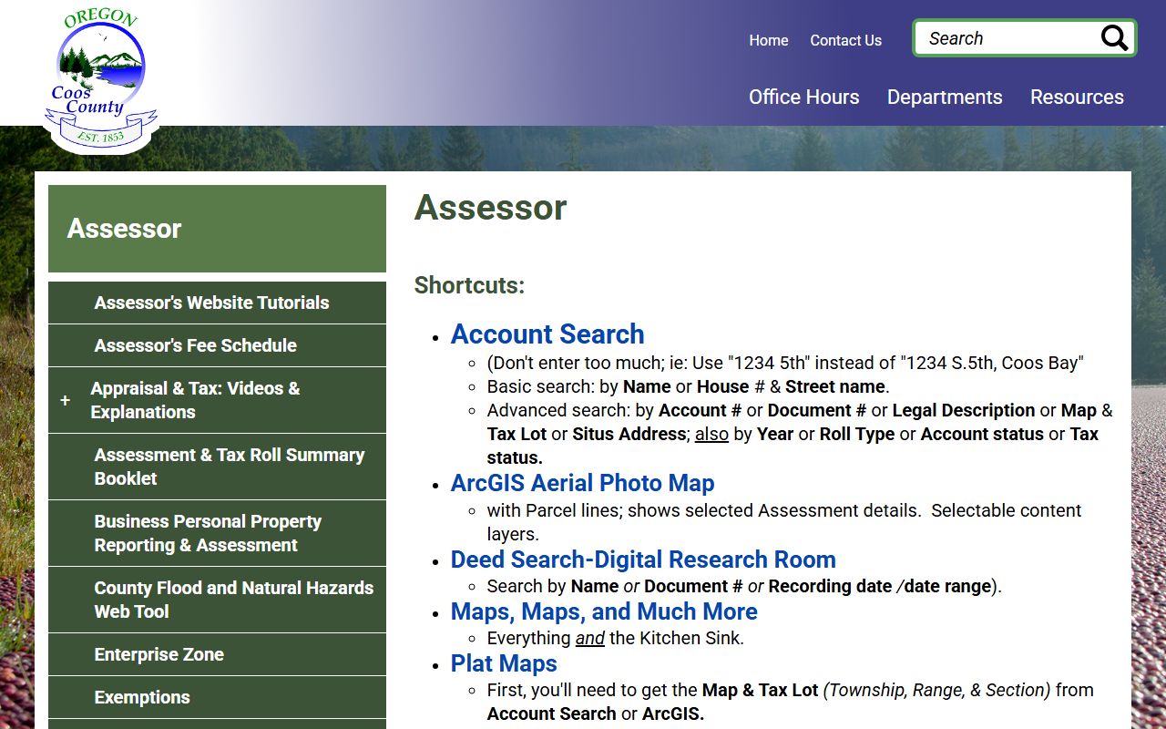
Coos County has one of the best online search systems on the Oregon Coast. The assessor website offers five main tools for looking up property data.
The account search lets you find records by owner name or address. Keep your search terms simple. Use something like "1234 5th" instead of a full formatted address with directional prefixes. You can also search by account number, document number, legal description, map and tax lot, situs address, or roll type. Advanced filters let you narrow by year, account status, and tax status.
The ArcGIS aerial photo map shows parcel lines on top of satellite images. Click any parcel to view its assessment data. The deed search, also called the Digital Research Room, lets you look up recorded documents by name, document number, or recording date range. Plat maps require a map and tax lot number, which you can get from the account search or the GIS map. The sales comparables finder lets you search recent sales by price range and year.
- Account search by name, address, or tax lot
- ArcGIS aerial map with parcel overlays
- Deed search in the Digital Research Room
- Plat maps by township, range, and section
- Sales comparables by price and year
Federal land patents for Coos County can be found on the Bureau of Land Management records site. These go back to the 1800s and include homestead and cash entry claims.
Property Tax Assessment in Coos County
Each year the Coos County assessor estimates the real market value of every parcel. The RMV reflects what a property would sell for in a fair transaction. Under Measure 50, the maximum assessed value can increase by no more than 3% per year. Your assessed value is the lesser of the RMV or the MAV. That assessed value is what your tax bill is based on. The rules are set out in ORS Chapter 308.
Coos County tracks several value types on each account. Real market value, maximum assessed value, assessed value, special assessed value, and maximum special assessed value all appear in the property record. Special assessed values apply to farm, forest, and other specially classified land. These values give you a clear picture of how the county calculates your tax obligation. The changed property ratio determines how new construction or major remodels are added to the tax roll. Minor construction under $18,200 does not change your maximum assessed value.
Note: Coos County valuation data shown online may not reflect the most recent changes until the annual roll is certified.
Coos County Exemptions and Deferrals
Several programs help lower the tax burden for qualifying property owners in Coos County. Disabled veterans can exempt a portion of their home value. The exemption amount ties to the VA disability rating. Surviving spouses of veterans may also qualify.
Seniors age 62 and older, or disabled persons who collect Social Security disability, can defer their property tax. The state pays the tax and places a lien on the home. Interest accrues at a low rate. The lien settles when the home is sold. Farm and forest land owners in Coos County can apply for special assessment. The southern Oregon Coast has large areas of timber land that benefit from this program. All exemption claims must be filed by April 1 with the Coos County assessor. Late claims face a penalty under ORS Chapter 307. The minimum penalty is $200. Forms are available from the Oregon Department of Revenue or at the Coos County assessor office.
Paying Property Taxes in Coos County
Tax bills go out each fall in Coos County. The full amount is due in three installments. November 15 is the first deadline. February 15 is the second. May 15 is the third. Pay everything by November 15 and you save 3%.
Oregon's tax collection rules appear in ORS Chapter 311. Coos County accepts payments by mail and in person. The average property tax in Coos County is $1,387 per year, which is below the state average. If taxes go unpaid for three years, the county can begin foreclosure under ORS Chapter 312. Reach out to the tax office early if you need help. Staff can discuss payment options and help prevent penalties from building up. Rate limits across Oregon are set by ORS Chapter 310.
Oregon State Property Resources
The Oregon Department of Revenue oversees property tax statewide and supports all 36 county assessors. Their website has forms, guides, and appeal instructions. The Oregon Secretary of State keeps archived land records and historical county documents that go back to the territorial era.
Coos County was created in 1853 and has deep roots in timber, fishing, and shipping. Its property records reflect that history. Older parcels may have deed chains that trace back to federal land patents and donation land claims from the mid-1800s.
Nearby Counties
Coos County borders Curry County to the south, Douglas County to the east, and Lane County to the north. Each county runs its own assessor office and maintains separate property records. If your parcel is near a county line, verify which county has jurisdiction before starting your search.